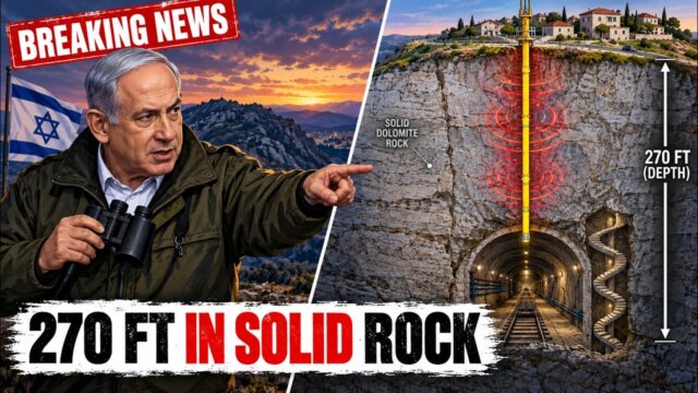
Countries that want to protect their most sensitive facilities often bury them deep inside mountains. Iran’s Fordow enrichment site, for example, was built into a mountain near Qom, reportedly under roughly 80–90 meters of rock. For years, such sites were considered nearly invisible and almost unreachable. But physics leaves clues — even through solid stone. In this Grand Structures documentary, we explore the four scientific fields that help analysts “see” through mountains.
Watch the full documentary
The four physics clues
- Seismic: machinery creates vibrations that travel through rock.
- Radar satellites (InSAR): the ground surface moves by millimeters when something changes underneath.
- Gravity: empty tunnels weigh less than solid rock.
- Thermal: people and machines underground need ventilation, which releases heat.
The core problem: seeing through rock
Cameras, even on satellites, only see surfaces. Tens of meters of granite or limestone block visible light, most radar and almost every other direct way of looking. So instead of trying to see the facility itself, scientists look for the side effects it creates — the ways a hidden structure changes the rock and environment around it. In a sense, the mountain that shields the bunker becomes the informant.
1. Seismic mapping: the mountain talks
Generators, pumps, ventilation fans and centrifuges all vibrate. Those vibrations travel through rock as seismic waves, and hard, dense rock can carry them surprisingly well. Sensitive seismometers — the same kind used to detect earthquakes and nuclear tests — can pick up repeating mechanical signals. By comparing the arrival times at several sensors, analysts can triangulate the source, much as earthquake epicenters are located. Seismic surveys also reveal changes in rock density, which can hint at tunnels and voids.
2. SAR satellites: the mountain breathes
Synthetic aperture radar (SAR) satellites bounce microwaves off the ground and measure the returning signal. By comparing images taken at different times — a technique called interferometric SAR, or InSAR — scientists can detect ground movements as small as a few millimeters. Excavation, construction, the weight of new structures and even heat from an underground facility can cause tiny rises or subsidence at the surface. InSAR is widely used in civilian science to monitor volcanoes, landslides and sinking cities; the same physics can reveal activity beneath a mountain.
3. Quantum gravimetry: empty space weighs less
Gravity depends on mass. A tunnel or cavern full of air has much less mass than the rock it replaced, so the pull of gravity directly above it is very slightly weaker. The differences are tiny — measured in billionths of normal gravity — but modern gravimeters can detect them. New quantum gravimeters use clouds of ultra-cold atoms as test masses, measuring how they fall with extreme precision. Civil engineers already use gravity surveys to find sinkholes, old mine shafts and buried voids before construction.
4. Thermal signatures: the bunker has to breathe
People and machines underground need fresh air, cooling and power. Ventilation shafts must vent warm, moist air somewhere, and that heat stands out to infrared sensors, especially on cold nights. Cooling systems, power lines and access roads also leave patterns that satellites and aircraft can track over time.
The complete picture: combining the sensors
No single method gives a perfect map. The power comes from combining them: seismic data hints at where machinery runs, InSAR shows where the ground has shifted, gravity surveys outline voids, and thermal images show where air is exhausted. Overlaying these clues with construction imagery and other intelligence lets analysts build a three-dimensional picture of a facility they have never seen directly.
Bunkers vs. physics
Deep burial still offers enormous protection — that is why militaries build in mountains. But the idea of a truly invisible, unreachable bunker is weakening as sensing technology improves. In June 2025, the United States struck Fordow with massive bunker-busting bombs, a reminder that knowing where and how deep a target lies is the first step. Part 2 of this series examines the engineering of the weapons designed to reach these targets. For more on the current conflict, read our explainer on whether the U.S. will strike Iran after the midterms.
Frequently asked questions
Can satellites see underground?
Not directly. But radar satellites can detect millimeter-scale ground movement, and infrared sensors can spot heat from ventilation, which can reveal activity underground.
What is a quantum gravimeter?
An instrument that measures gravity with extreme precision using ultra-cold atoms. It can detect the slightly weaker gravity above voids like tunnels or caves.
How deep is Iran’s Fordow facility?
Fordow is built into a mountain near Qom and is widely reported to lie roughly 80–90 meters beneath rock.
Get Part 2 when it drops — subscribe to Grand Structures on YouTube.